
Omaha ZIP Coverage
This working, non-exhaustive Omaha ZIP code directory table uses the local research set of common mailing ZIPs. The Areas Covered column is practical Omaha research context, not an exact municipal polygon, and the Post Office column avoids claiming an unverified station name. Confirm any live mailing result through USPS before treating it as current. A ZIP may touch several named Omaha areas, while a neighborhood, council district, or parcel follows a different boundary.
| ZIP | Areas Covered | Post Office | Notes |
|---|---|---|---|
| 68102 | Downtown, Old Market, riverfront, central core | Omaha postal service | Check the parcel and city limit separately. |
| 68104 | North-central Omaha, Benson-adjacent areas | Omaha postal service | Named neighborhoods can cross the postal area. |
| 68105 | South-central Omaha | Omaha postal service | A delivery key, not a block or precinct. |
| 68107 | South Omaha, Little Bohemia area | Omaha postal service | Older sources may use South Omaha. |
| 68108 | South Omaha central-industrial area | Omaha postal service | Use an addition, lot/block, and parcel where needed. |
| 68110 | North/east Omaha, rail-industrial corridor | Omaha postal service | Several planning layers overlap this area. |
| 68112 | North Omaha, Carter Lake mailing context | Verify USPS and DOGIS | Postal label may not equal Omaha limits. |
| 68114 | West-central Omaha, 72nd Street corridor | Omaha postal service | Election lookup uses house number plus ZIP. |
| 68116 | West Omaha | Omaha postal service | Parcel and municipality remain separate fields. |
| 68124 | Central-west Omaha | Omaha postal service | Use assessor and GIS for parcel research. |
| 68131 | Central Omaha, Midtown | Omaha postal service | Historical street and postal labels can differ. |
| 68135 | Southwest Omaha | Omaha postal service | Confirm the parcel and city-limit layer. |
| 68144 | West Omaha | Omaha postal service | It is also the Election Commission’s office ZIP. |
| 68152 | North Omaha, institutional edge | Omaha postal service | Delivery use requires USPS confirmation. |
| 68164 | North/west Omaha | Omaha postal service | Validate the current route before use. |
The research also identifies common Omaha mailing ZIPs including 68106, 68111, 68117, 68118, 68127, 68130, 68132, 68134, 68137, 68138, 68147, 68154, and 68157. Use USPS for the current Omaha service answer instead of treating this working list as an exhaustive city roster.
Verify Omaha ZIP Codes
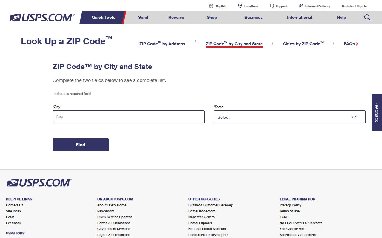
The USPS ZIP Code Lookup is the official route for a current Omaha city/state or address-to-ZIP check. It verifies postal delivery geography, which is the question a ZIP is designed to answer. It does not certify Omaha city residency, neighborhood membership, voter status, property ownership, or a current household connection. Keep the USPS result as the mailing fact and verify other Omaha geography through the relevant local source.
The official USPS ZIP Code Lookup supplies the current Omaha mailing check. Start with the address or city and state, record the returned ZIP exactly, and repeat the check whenever a live record form rejects a ZIP or the address has changed.
Special designations need extra care. The research lists 68101, 68103, 68109, 68113, 68119, 68120, 68122, 68123, 68145, 68146, 68150, 68155, 68175, 68176, 68178, 68180, 68181, 68182, 68183, 68197, 68198, and 68199 as possible PO-box, unique, institutional, corporate, or other special Omaha mailing designations. Do not call any of them an ordinary residence ZIP without a live USPS result.
Omaha Postal Geography
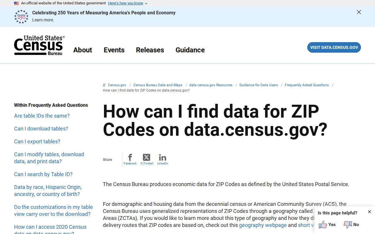
Omaha ZIP codes are Postal Service delivery constructs. Census ZIP analysis instead uses ZIP Code Tabulation Areas, or ZCTAs, which are statistical approximations built for tabulation rather than exact Postal Service routes. Census ZIP guidance explains that distinction. Aggregate ZCTA data can be useful Omaha context, but it is not a list of Omaha addresses or people.
The Census ZIP guidance image is a useful reminder that the Omaha ZIP code directory needs two separate checks: USPS for a postal answer and DOGIS for municipal or parcel geography.
DOGIS carries city limits, parcels, zoning, flood areas, council districts, special improvement districts, neighborhood associations, historic resources, and census geography in related views. One Omaha address can therefore have several legitimate labels. Preserve them rather than using a postal label as a substitute for all of them.
Omaha ZIP Search Fields
A ZIP filter searches the record class held by the system, not all people who receive mail in that ZIP. The Douglas County Election Commission accepts House Number and ZIP for voting information. DOGIS uses an address, parcel, or map position. The assessor route is expected to support owner, address, or parcel work, but its exact live fields were challenge-blocked and should remain unverified. Nebraska HHS License Information System offers an inspected ZIP field in its Individual Search.
| System | ZIP-capable field or key | What a result represents | Limit |
|---|---|---|---|
| Douglas County voting lookup | House Number plus ZIP Code | Polling place, candidates, ballot, officials, subdivisions | Not a name search or proof of residency. |
| Douglas County Assessor | Address, owner, or parcel expected | Property and valuation information when displayed | Exact current form fields remain unverified. |
| DOGIS | Address, parcel, or map search | Parcels and spatial layers | Not a ZIP people index. |
| Nebraska HHS license search | City, County, ZIP Code | Individual, business/service, or facility/service license record | Not a resident directory. |
Note: A ZIP filter narrows a portal’s own record type, so read the returned field labels before drawing any conclusion from an Omaha search.
Find Omaha ZIP Records
Begin with the ZIP as a delivery check, then choose a record system that matches the needed fact. This avoids a common mistake: using a ZIP to imply that every matching address lies inside the Omaha municipal boundary. The Election Commission tool is for address-based voting information. DOGIS is for mapped geography. The assessor and LandmarkWeb support parcel and recorded-property work. A postal result is only the first part of the sequence.
- Confirm the mailing ZIP with the official USPS lookup and record the returned city/state wording.
- Enter the house number and ZIP at the Douglas County Election Commission only when voting information for that address is the needed fact.
- Use DOGIS to find the parcel and turn on City Limits. Check the municipality separately from the mailing result.
- For property context, use the assessor route and LandmarkWeb with the address, parcel, or legal-description lead. Keep current property information dated.
- Once a ZIP has narrowed the area to a particular address or block, continue with the Omaha street directory for the full parcel, deed, map, and permit workflow.
Nearby 68007, 68010, and 68022 can carry Omaha-area postal labels or serve adjacent municipalities. USPS and DOGIS must agree with the actual record purpose before an Omaha location claim is made.
Omaha ZIP License Results
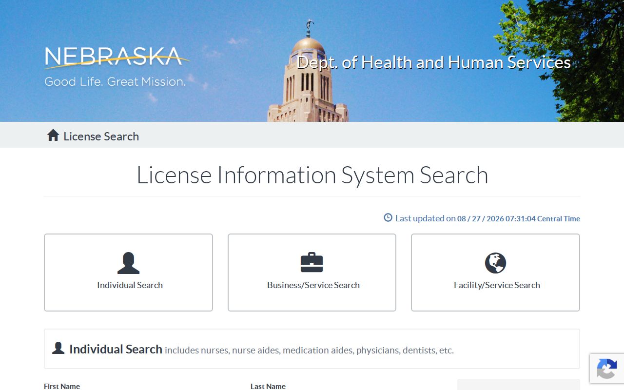
The Nebraska HHS License Information System has Individual Search, Business/Service Search, and Facility/Service Search tabs. Its inspected Individual Search includes First Name with an asterisk wildcard, Last Name, License Number, License Status, Profession, License Type, City, County, and ZIP Code. The searchable ZIP is useful for locating a license record class, not for identifying local residents.
Results may show a licensee, business, or facility, license number and status, profession or type, issue or expiration dates, and an address or city if the system displays it. A displayed license address is a regulated mailing or business address and is not necessarily a personal address. Dropdown option lists were JavaScript-rendered during research, so confirm current profession, status, and license-type options in the live system.
The ZIP-capable license screen comes from the official HHS license search.
Use the result’s own class and status fields when recording a finding. Do not turn a professional, business, or facility result into a claim that someone currently lives in Omaha.
Omaha ZIP Definitions
Postal terms look similar but do different work in the Omaha ZIP code directory. Keeping them separate helps prevent an address-search result from being overstated.
- ZIP code
- A Postal Service delivery-routing code used to sort and deliver mail. It is not a municipal boundary.
- ZIP+4
- An added four-digit delivery segment used to narrow a ZIP code to a more specific route or delivery point.
- PO-box ZIP
- A ZIP assigned for post-office-box delivery. It should not be treated as an ordinary physical-address ZIP.
- Unique ZIP
- A special code used for a single institution, corporation, or other defined mail recipient arrangement.
- Carrier route
- A delivery route used by the Postal Service within or across ZIP geography. It is not a parcel or legal boundary.
Omaha ZIP City Limits
Postal-city wording and city limits answer different questions. The DOGIS City Limits layer distinguishes Omaha from Ralston, Valley, Waterloo, Boys Town, Bennington, and Carter Lake, Iowa, among other labels in the service inventory. A ZIP such as 68112 has a North Omaha and Carter Lake-area mailing context, which is why USPS verification and a municipal layer both matter.
Neighborhood names also do not replace either boundary. Postal areas can span multiple named areas, and DOGIS neighborhood, historic, council, SID, and census layers may overlap one another. Keep the source’s geographic label and its date rather than forcing all Omaha records into a single label.
Omaha Parcel and ZIP Keys
A ZIP groups delivery routes. A parcel identifies land. For Omaha property research, use the mailing ZIP to check the address form, then locate the parcel in DOGIS or the assessor route. Preserve the situs address, parcel identifier, legal description, tax mailing address, and data date as separate fields. A current value or owner display should not be substituted for a historical address record.
If a historical source uses a street form that does not match a modern map, carry the addition, lot, block, or section description into Douglas County LandmarkWeb. That recorded-property path is often stronger than guessing how a historic postal or street label changed.
Note: Record the postal city, municipality, county, ZIP, parcel, addition, lot/block, and source date separately when comparing Omaha records.
Omaha ZIP History Gaps
No verified official chronology for Omaha ZIP splits or realignments was found in the research. Do not assign a date to a ZIP boundary change without USPS postal-history material or an official map archive. The working coverage table is deliberately current-use research context, not a historical timeline.
Modern ZIP codes also postdate the earliest Omaha directory material. A historical city-directory label, township term, rural route, South Omaha reference, or addition name should be preserved as printed. Compare it with a period map, a legal description, and a current parcel only when an authoritative bridge supports the comparison. That keeps the Omaha ZIP code directory useful without rewriting the geography of an older record.