
Omaha Previous Residents Sources
Different Omaha time periods need different records. Omaha and Douglas County's recorded-property system can establish instrument parties and a legal description. Omaha Public Library directories can offer a dated household clue. Omaha water permits, maps, newspapers, cemetery registers, and archival collections can add physical or family context. None of them should be labeled as proof of continuous occupancy. The strongest result is a chronology that preserves the source's date, the name as printed, the address as printed, the record role, and any unresolved gap.
| Source | Years It Covers | Where Held | What It Shows |
|---|---|---|---|
| LandmarkWeb Addition and Lands index books | Index-book additions through 1989 | Douglas County LandmarkWeb | Omaha deed or mortgage book, page, and image route |
| LandmarkWeb newer additions | After 1989 | Douglas County LandmarkWeb | Omaha recorded-document search path for newer additions |
| Omaha city directories | 1866-current in print; 1866-1979 on one microfilm listing | Omaha Public Library | Dated name, address, household, and business clues |
| Water permits | 1880-1968 | Omaha Public Library house-history resources | Some date, address, and homeowner information |
| Sanborn Fire Insurance Map, volume 2 | 1890 | Library of Congress | Omaha street and building context, not a people index |
| Prospect Hill Cemetery records, RG4538 | About 1854-1975 | Nebraska State Historical Society | Omaha lot, interment, family, and sometimes residence clues |
For a recent Omaha instrument, begin with the parcel and recorded document. For a much older Omaha address, a directory year or a map may supply the bridge needed to reach the correct addition, lot, block, or parcel. Always record whether an image was inspected or whether the result is only an index entry.
Omaha Address Dates Matter
Freeze the Omaha research question before searching. Write down the Omaha street address exactly as supplied, the normalized modern form, any unit, the target year or date range, and the source that supplied it. Then preserve both forms in a chronology. Historical Omaha materials may use Omaha, South Omaha, Benson, a township, a rural route, an addition, or a lot and block where a modern map uses one Omaha address. Searching only the modern street string can skip the older record entirely.
For every Omaha hit, distinguish the publication or recording date from the access date. Keep the name as printed, the address as printed, the source type, the person's role, confidence, and access condition. This prevents a present-day Omaha parcel display from being blended with an earlier directory listing. It also makes an Omaha negative search useful: record the portal, terms, filters, coverage, result count, and any permission or image barrier before deciding that no record exists.
Note: A source dated to one year supports that year only, unless another dated record independently extends the trail.
Omaha Previous Residents Deed Chain
Douglas County LandmarkWeb is the official entry point for Omaha recorded instruments and the addition or lands index-book search. Addition searching uses an addition-name autocomplete. Lands searching uses section, township, and range. The index type is deed or mortgage, and the returned trail can include the addition name or land description, book number, page number, and an image link. An image can require permission. If an image is missing, the portal documents a microfilm request using the exact book and page plus an email address.
Start with the current assessor or DOGIS parcel record to capture the Omaha parcel, addition, lot, block, or legal description. The assessor's exact public field labels were not verified during research because its interface was challenge-protected, so do not assume a particular address filter. Use the official landing page, then carry the confirmed parcel description to LandmarkWeb. A deed records interest and named parties on a date. It does not, by itself, establish who lived at the property.
Open the Douglas County LandmarkWeb portal to begin an Omaha previous residents deed search.
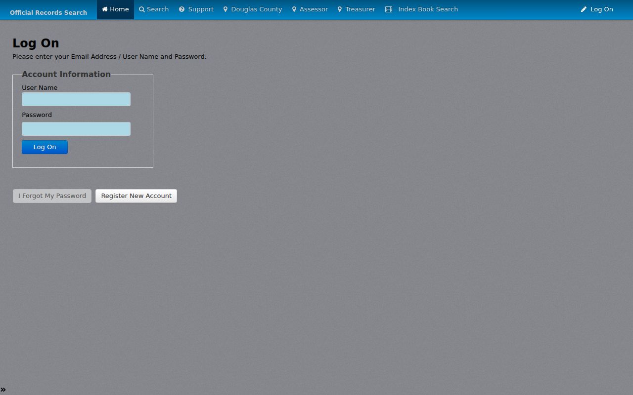
Preserving the book, page, instrument type, and recording date makes each result reviewable even when image access changes.
- Capture the current Omaha parcel's legal description and the date of the current source from the official assessor or DOGIS route.
- Search the latest recorded purchaser as a grantee in LandmarkWeb and open the purchase instrument or its book and page.
- Record the seller, who is the grantor on that instrument, together with the recording date and legal description.
- Search that earlier seller as a grantee to locate the preceding purchase, then repeat the same dated comparison.
- When the online image route ends, request the cited book and page from microfilm or ask the custodian for the older record path.
- Grantor
- The party transferring an interest in a recorded instrument.
- Grantee
- The party receiving the recorded interest. A grantee is not automatically a resident.
- Chain of title
- The chronological sequence of recorded instruments affecting an Omaha parcel or legal description.
- Legal description
- The recorded Omaha addition, lot, block, section, or tract wording that identifies land more reliably than a changing street label.
Omaha Legal Description Bridge
When an old Omaha street address produces no useful match, use the legal-description bridge. Find the Omaha address in a near-date map or plat, identify the addition, lot, and block where possible, and carry those terms into LandmarkWeb. The Nebraska State Historical Society manuscript map collection includes Omaha-area maps and plat material, while its county atlases and plat books can show property lines, roads, schools, cemeteries, and ownership labels. Those maps provide Omaha context, not a substitute for the recorded instrument.
The bridge is especially helpful because street names, municipal labels, and address conventions change. DOGIS can be used to compare the modern parcel and city-limit context, but a map layer does not prove a historic match. Keep the map date, the visible label, and the reasoning behind the match in the chronology. If the addition or lot cannot be reconciled, leave the relationship unresolved rather than forcing a modern address onto an old record.
Omaha Previous Residents House History
The Omaha Public Library house-history guide explains a major local records gap: most Omaha city building permits from the 1880s through the 2000s were discarded by the chief building inspector. Dundee permits are the stated exception. That makes a missing permit normal, not evidence that an Omaha building or its past residents had no history. The same guide identifies surviving Omaha water permits from 1880 through 1968. Their online index is in progress and can include date, address, and homeowner information for some entries.
Review the Omaha house-history guide before treating a missing building permit as a closed trail.
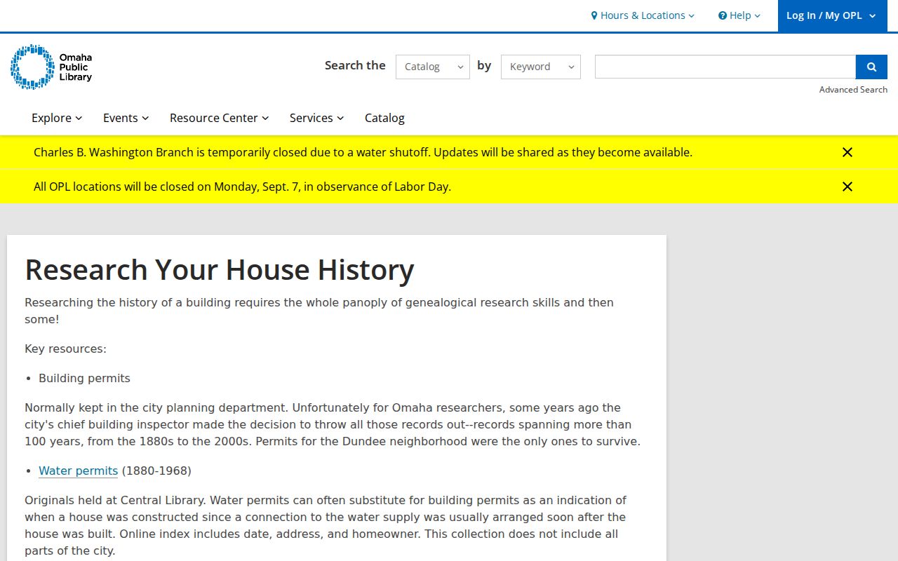
The guide shifts the Omaha research path toward water permits, maps, newspapers, directories, and recorded documents when a building-permit file is absent.
The Omaha house-history route also points to historical maps, the FIMo historical-information resource, the Omaha World-Herald digital archive for 1878-1983 through a library card, and Daily Record legal notices and permits. Search the Omaha address, owner name, addition, and nearby cross street. Coverage and indexing differ by year, so describe an item as a dated lead until the original notice or record is inspected.
Omaha Maps and Cemetery Trails
The 1890 Library of Congress Sanborn map record for Omaha describes volume 2 as 66 sheets and 67 images. It can show Omaha building footprints, streets, industrial uses, and land context, but it is not a people index. Use it to test whether an Omaha address pattern or cross street makes sense at the time. An Omaha Sanborn map should remain a contextual source in the chronology, separate from a directory listing or a recorded party.
For an Omaha family endpoint, Prospect Hill Cemetery RG4538 spans about 1854-1975 in 19 microfilm reels. Its interment registers cover 1860-1975 and may include date, name, age, family, residence, and lot. Omaha lot books, burial permits, maps, and deed material can add context. The records show historical information as recorded and do not establish a modern family contact.
Note: Use Omaha maps to explain an address and Omaha cemetery records to identify a dated interment, not to fill a gap with an assumed household connection.
Omaha Previous Residents Households
Omaha recorded ownership and past residents are separate questions. After an Omaha deed chain identifies a date and parcel, move to the appropriate Omaha directory year for a dated household clue. The Omaha city directory collections provide the shelf and format details for that step. Compare an Omaha alphabetical entry with an address-ordered section only when that volume contains one. Preserve res, bds, spouse or widow notation, and the printed Omaha address without converting them into a modern status claim.
- Choose the Omaha directory volume nearest the recorded instrument or map date and copy the entry exactly as printed.
- Pair a 1910-era Omaha directory with the 1910 federal census, then make the same close-year comparison for 1920, 1930, 1940, or 1950 when the evidence fits.
- Compare the prior and following Omaha directory years for a move, changed initials, or a separate household entry.
- Use an Omaha obituary index, cemetery record, probate item, or newspaper notice only as a dated follow-up source with its own record role.
An absence from an Omaha directory can reflect a move, death, changed listing practice, or an incomplete canvass. It is not proof that nobody lived at the Omaha address. Keep Omaha owners, listing subjects, and other named parties distinct in the final timeline.
Omaha Previous Residents Evidence
Use Omaha prior-address research for family history, estate questions, personal property history, or civic curiosity. Keep records limited to their supported purpose. An Omaha tax mailing address can belong to a trust, bank, manager, or another nonresident party. A deed can include a legal interest without an address listing. An Omaha directory can show a publisher's dated entry without proving ownership or current location. Respect confidential Omaha addresses, restricted records, and any access rule attached to a collection.
Omaha Archive Request Details
When an Omaha portal provides only an index or an image is unavailable, make the request specific. LandmarkWeb's microfilm request path asks for the document type, exact book and page, and email. For Omaha library help, OPL research services can check Omaha city directories, obituary card indexes, and book indexes for up to three names or items. Standard copy work costs $5 per copy in advance. More extensive research is capped at half an hour for $20 in advance, including five copies, with additional pages at $1. Mail, email, and the online form are documented options.
For broad Omaha and Douglas County historical holdings, name the collection, series, volume or reel, date range, place, and the precise name or legal description. RG0230 covers 1855-2000 and contains roughly 1,780 reels, 72 boxes, 90 cubic feet, and 224 volumes. A carefully bounded Omaha request reaches the correct material more reliably than a request for every name tied to an address.